Space Station Lite (ISSLite)
This is the Lite version of the ISS Application. This version provides many of the features of the main application so that you can get a feel for the capabilities.
NOTE: Make sure to go in an update your databases from NORAD (Manage Satellites page) Sounds like folks arent doing that update so are running on very old prediction elements.
The description of the full version is:
ISS is part of the Sat series of applications (ISS, HamSat and ProSat) and is a visualization/utility application that allows you to see the location of the International Space Station and other associated satellites (Soyuz, Progress, PSSC...) in realtime over the Earth (up to two satellites may be tracked simultaneously).
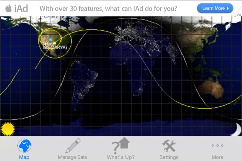
You can see the Earth rendered either as a 3D globe or a 2D map using photo realistic texture maps for the Earth model. The orientation of the map is easily changed by a simple rotation of the device from portrait (3D) to landscape (2D). In either orientation you can zoom in and out as well as pan using the touch screen. Controls are given to allow you to select: the texture maps used, whether shading is performed, whether to draw political boundaries and if a lat/lon grid should be presented.
In addition, the application can calculate the rise/set times of the primary satellite, Sun and Moon for your specified location. In the case of the satellite calculations, you can further specify whether the overflight times should take into account optimal ground viewing characteristics (meaning the satellite is lit, the ground is dark and the max elevation is greater than 10 degrees)
If you want access to more satellites then please check out either HamSat (satellites specific to Amateur Radio operators) or ProSat (includes access to 700+ satellites)


